Hike to Onglanuten

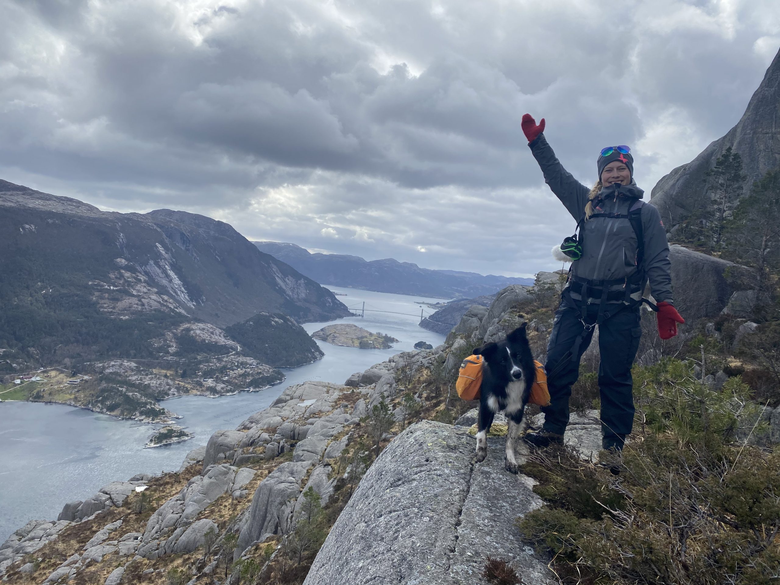
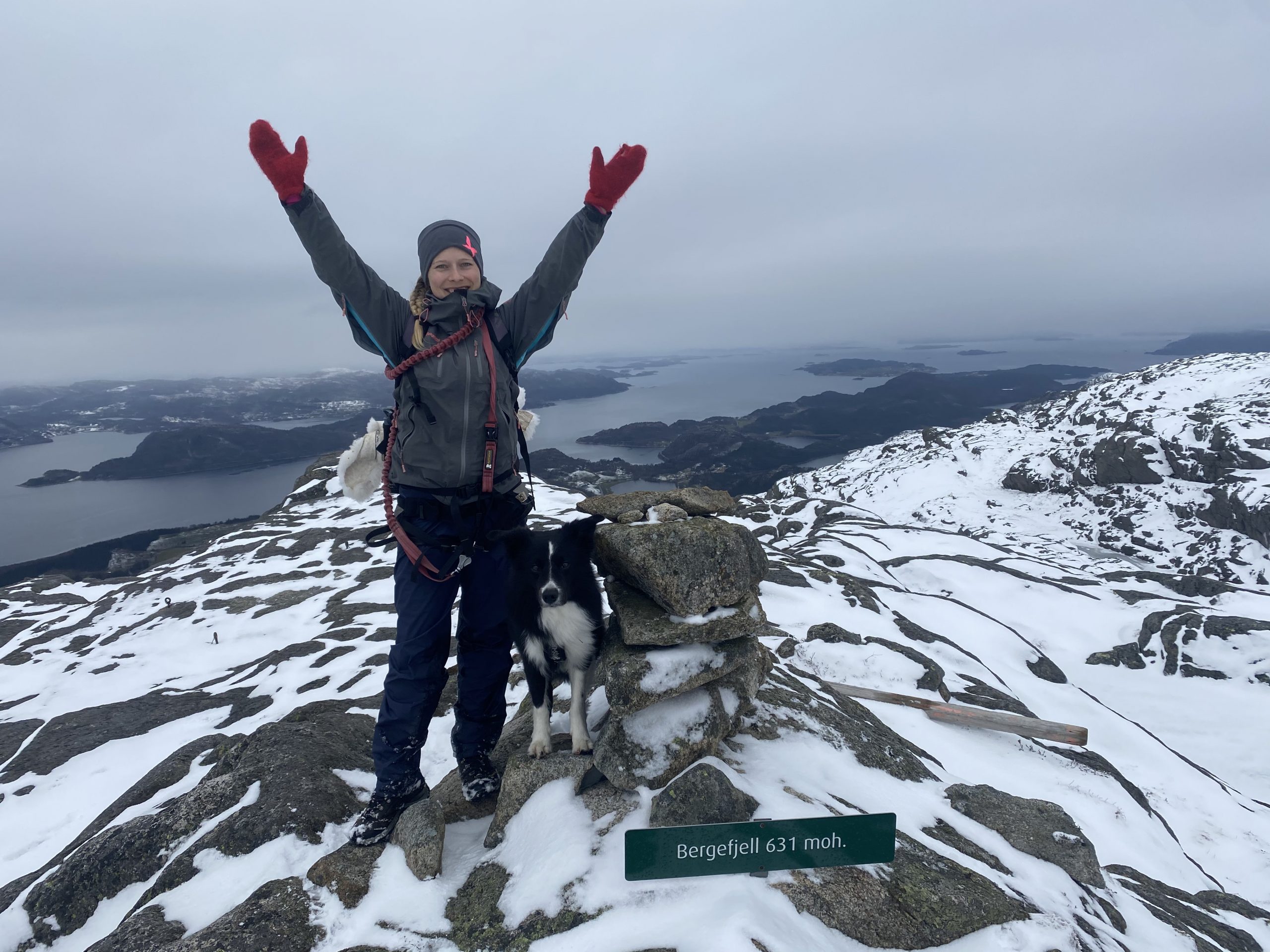
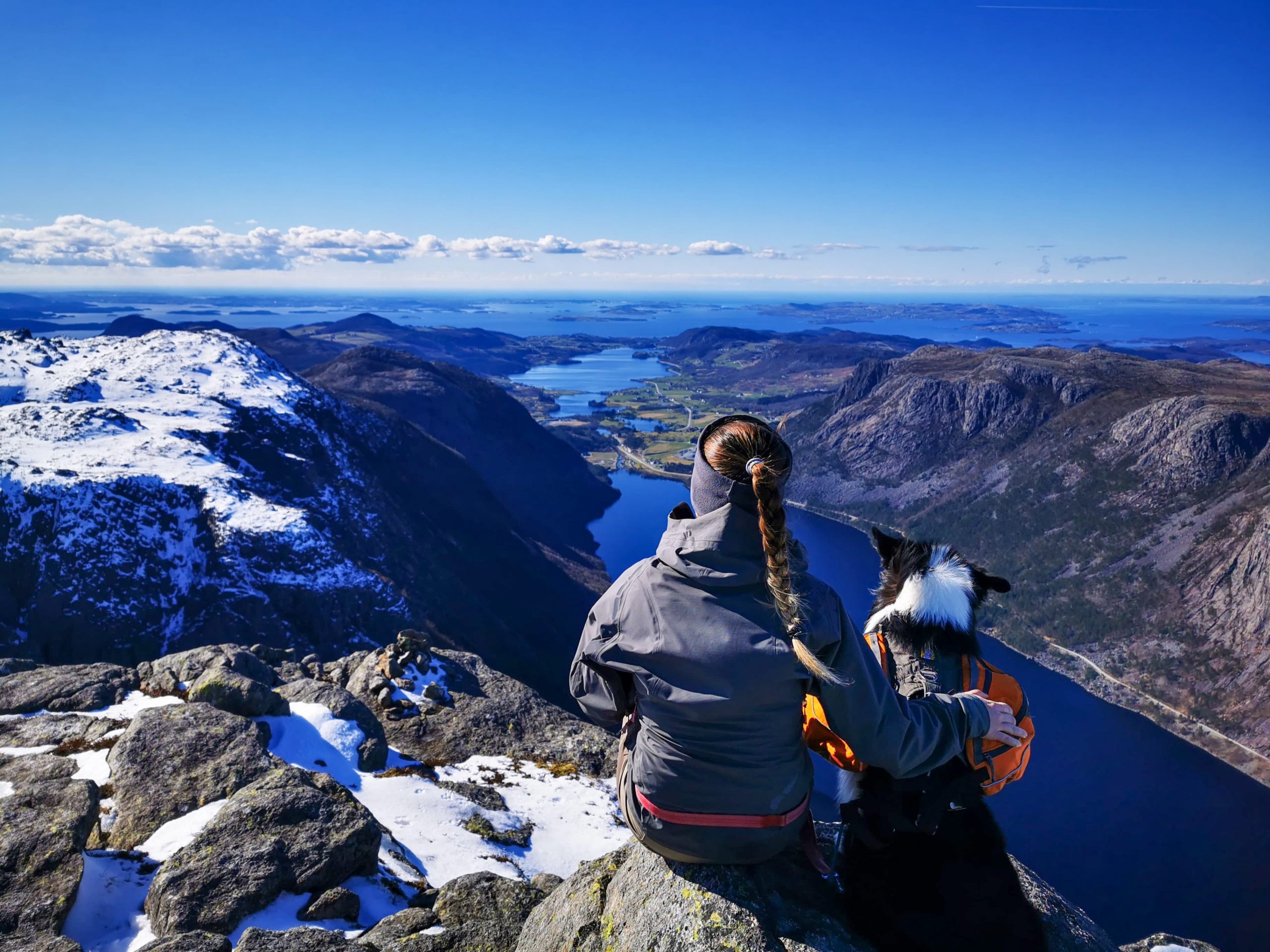
You can take the same route up and back down or you can (as we did) walk one way up and a different one back down. We did the short and steep way up and then continued towards Stavastolen and Smaaliane cabin area. We parked at Neikjen (GPS: 59.431650, 6.442588) but you can also park closer to Gullingen Touristcentre and walk from there.
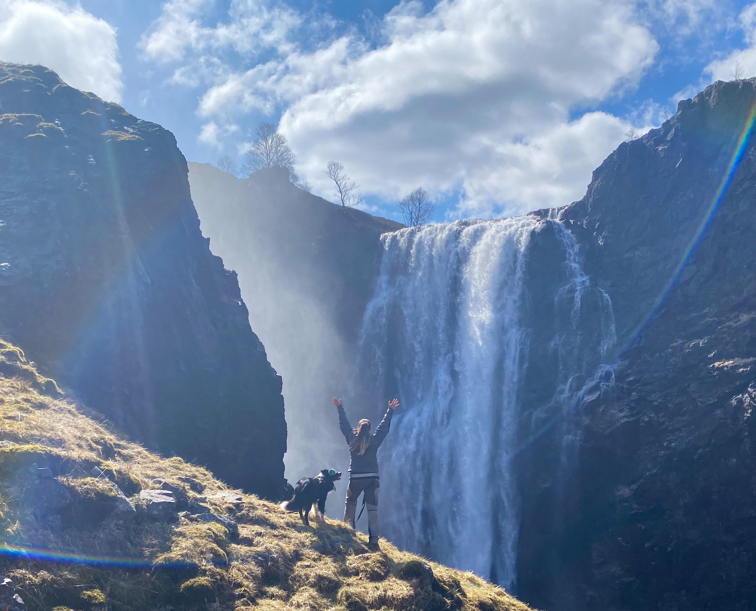
Goggles for dogs

I have previously written about Zen’s diagnose which can be made worse by longterm exposure to the sun and is the reason why he wears sunglasses. Since many people are curious of these sunglasses, I wanted to share some information on them

Hike to Hellandsnuten

The hike starts from Klov (GPS: 423059.488825, 6.277691). We parked near the turnaround and followed the road to the left. After a few hundred meters you will see a collection of trail signs, follow the trail marked “Hellandsnuten”. Each junction is marked with signs, so you will have no problems following the trail.

Hike to Hatten

The hike starts at Botshei, which is located between Oanes and Jorpeland. You can park along the road where the hike begins (58.959835, 6.110042) and the trail is well marked. The first junction you arrive at will give you the option of taking the “old” or the “new” trail. The “new” trail will take you a long Lysefjorden – with amazing views, but if you have a fear of heights, it might be a bit uncomfortable taking this route.

Hike to Bergefjell

When going on this hike, you should know you will be climbing 600 meters on just 2,5 km, but if you are up for it, its a lovely hike. Park by the chapel at Forsand and on the other side of the road, you will see a small fotball field where you will find the start of the trail.