Location: VestvaagoyaTime: 1-1,5 hoursDistance: 2 kmElevation: 400 meters Mannen is one of the most famous (and most photographed) mountains in Lofoten and has an amazing …
Hike to Mannen in Lofoten
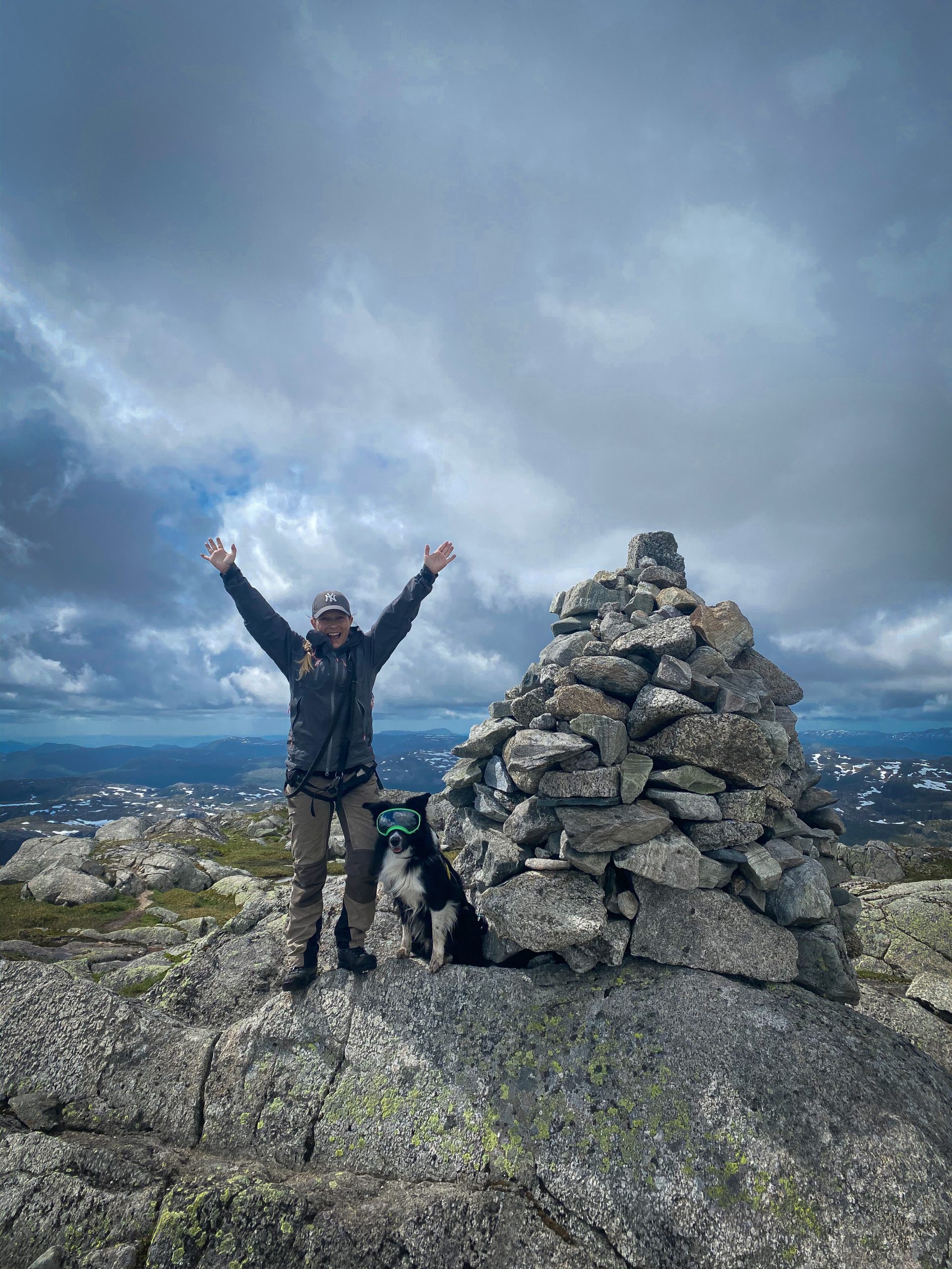
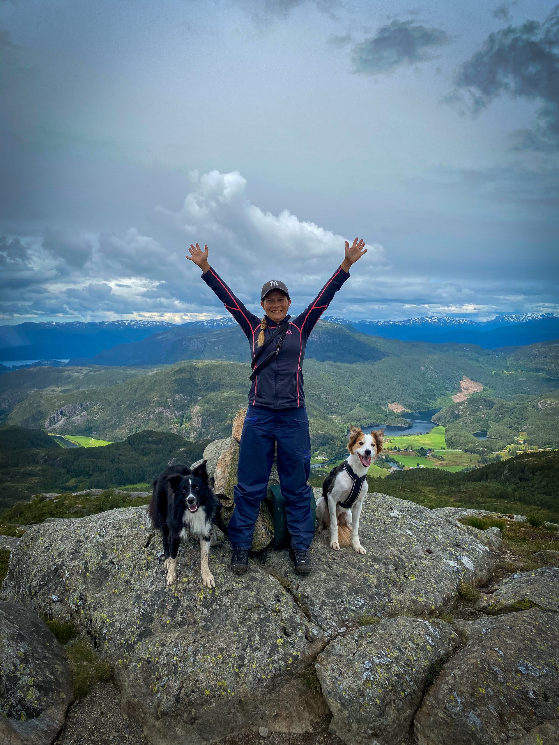
Dogs, hiking and agility
Location: VestvaagoyaTime: 1-1,5 hoursDistance: 2 kmElevation: 400 meters Mannen is one of the most famous (and most photographed) mountains in Lofoten and has an amazing …
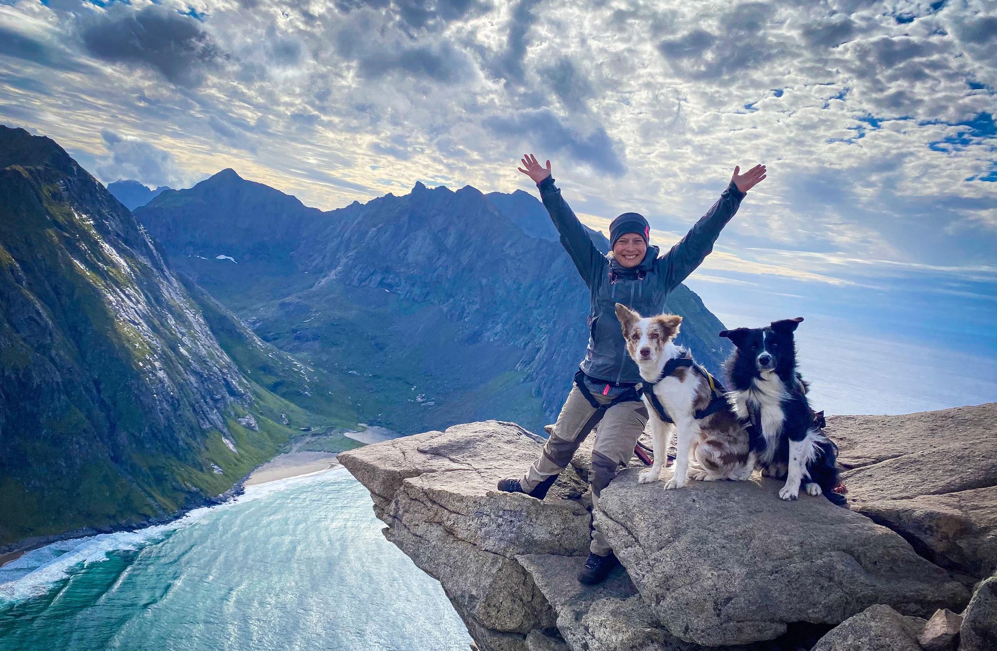
Ryten is one of the most famous peaks in Lofoten and you have probably seen pictures of people “hanging” on the edge of Ryten, or perhaps the amazing beach Kvalvika below.
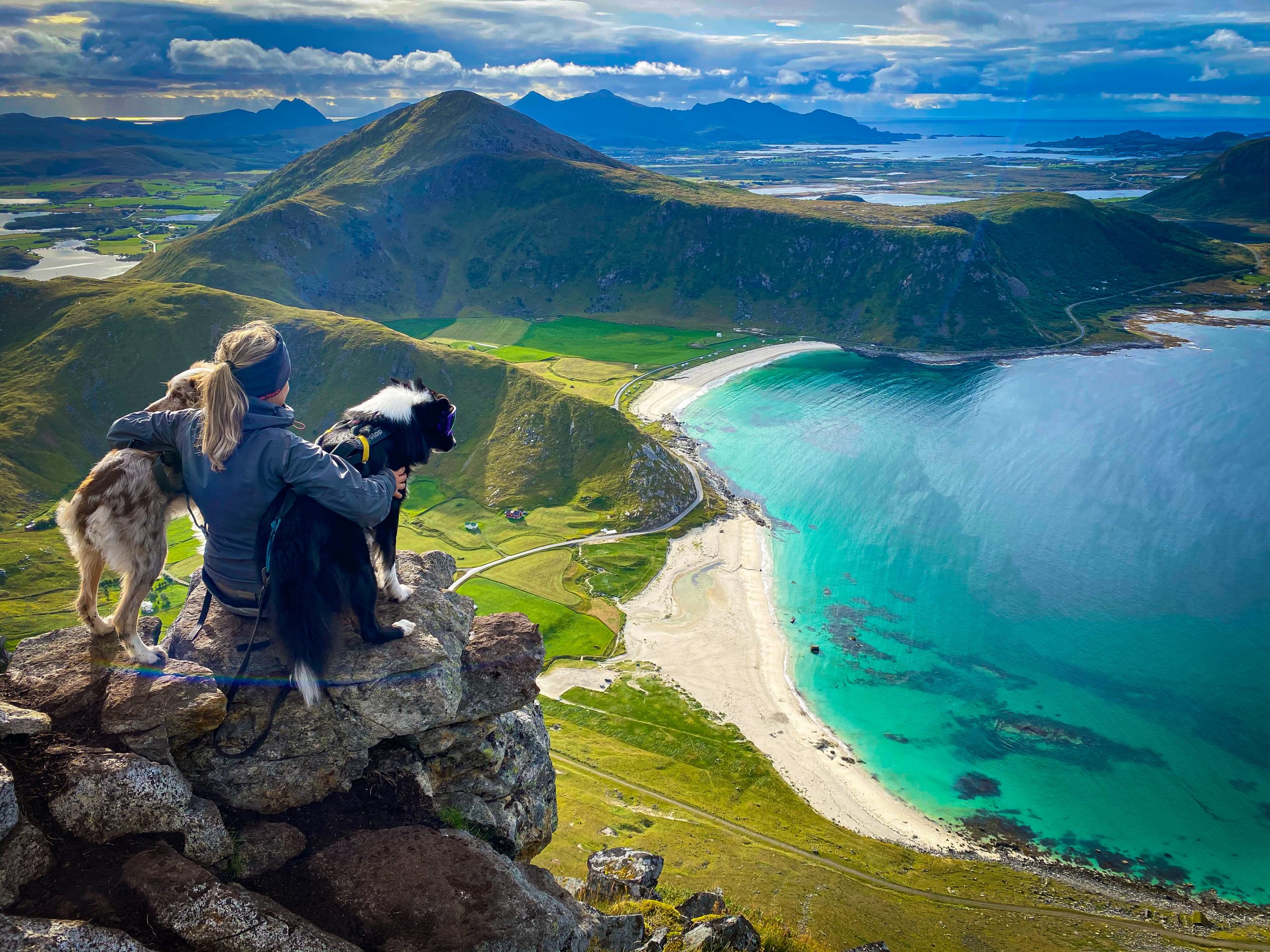
Skrovafjellet is located on Skrova, also known as Hawaii of Lofoten and I highly recommend a visit. The view is unforgetable!
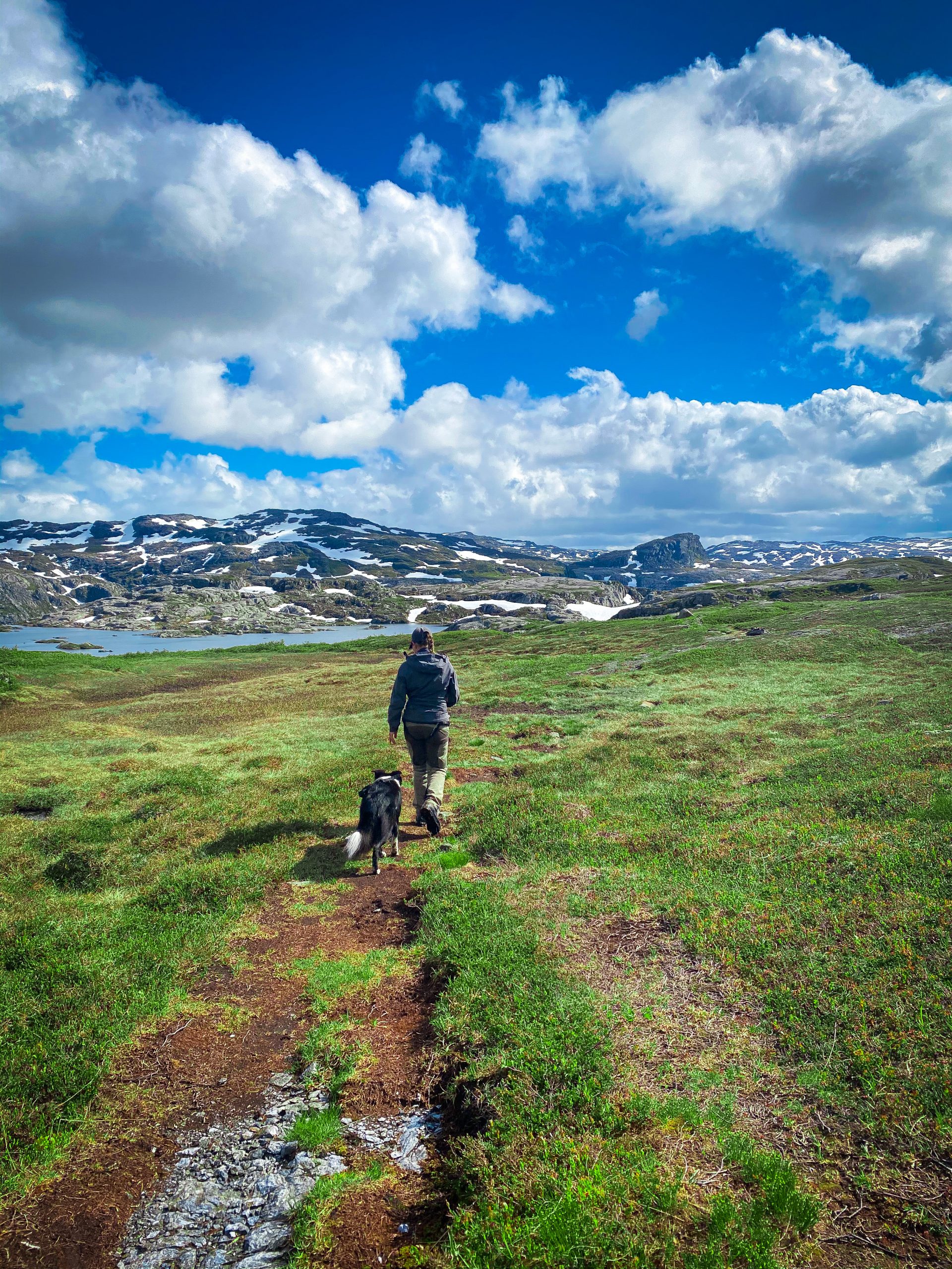
Nipe is located in Suldal muncipality and has an amazing view over Nesflaten and Suldalsvatnet. Park at the shooting range (GPS 59°37’42.2″N 6°48’00.7″E) and look for the sign by the road. The hike starts on the other side of the road and continues straight up. Most of the hike is in steep terrain.
Through the years I have hiked quite a few mountains and trails, both in my neighbourhood, at our cabin and other great places on the …
Napen is one of the highest peaks in Rogaland and is located between Sandsa and Stranddalen cabinm 1350 meters above seas level.
You can take the same route up and back down or you can (as we did) walk one way up and a different one back down. We did the short and steep way up and then continued towards Stavastolen and Smaaliane cabin area. We parked at Neikjen (GPS: 59.431650, 6.442588) but you can also park closer to Gullingen Touristcentre and walk from there.
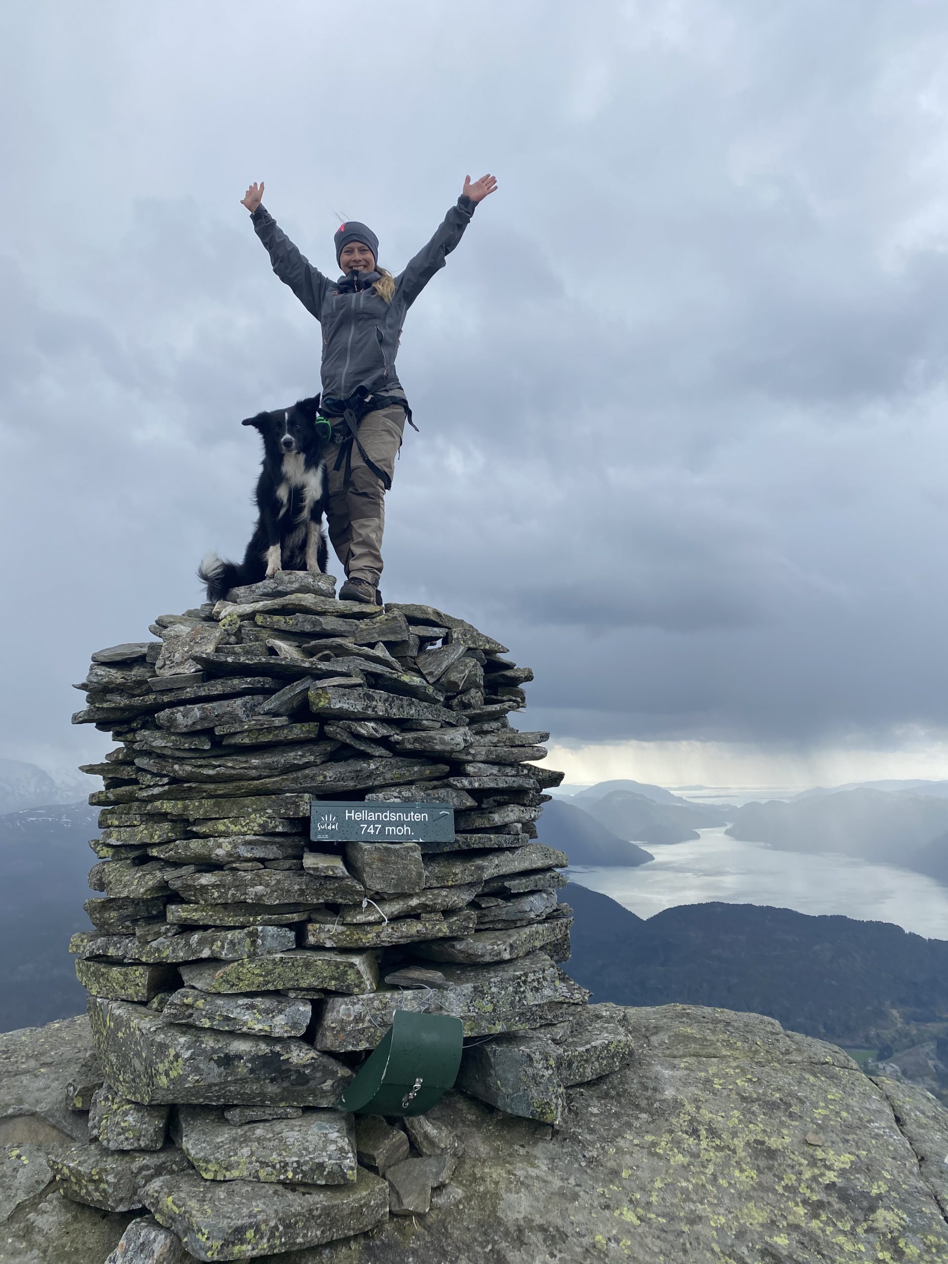
The hike starts from Klov (GPS: 423059.488825, 6.277691). We parked near the turnaround and followed the road to the left. After a few hundred meters you will see a collection of trail signs, follow the trail marked “Hellandsnuten”. Each junction is marked with signs, so you will have no problems following the trail.
From the parking lot at Hjelmeland (GPS posisjon N59 15.227 E6 12.337 – parkingfee 100NOK) the hike begins through a farm and on a farmroad with very little elevation. After a while the road narrows into a path and the climb begins.
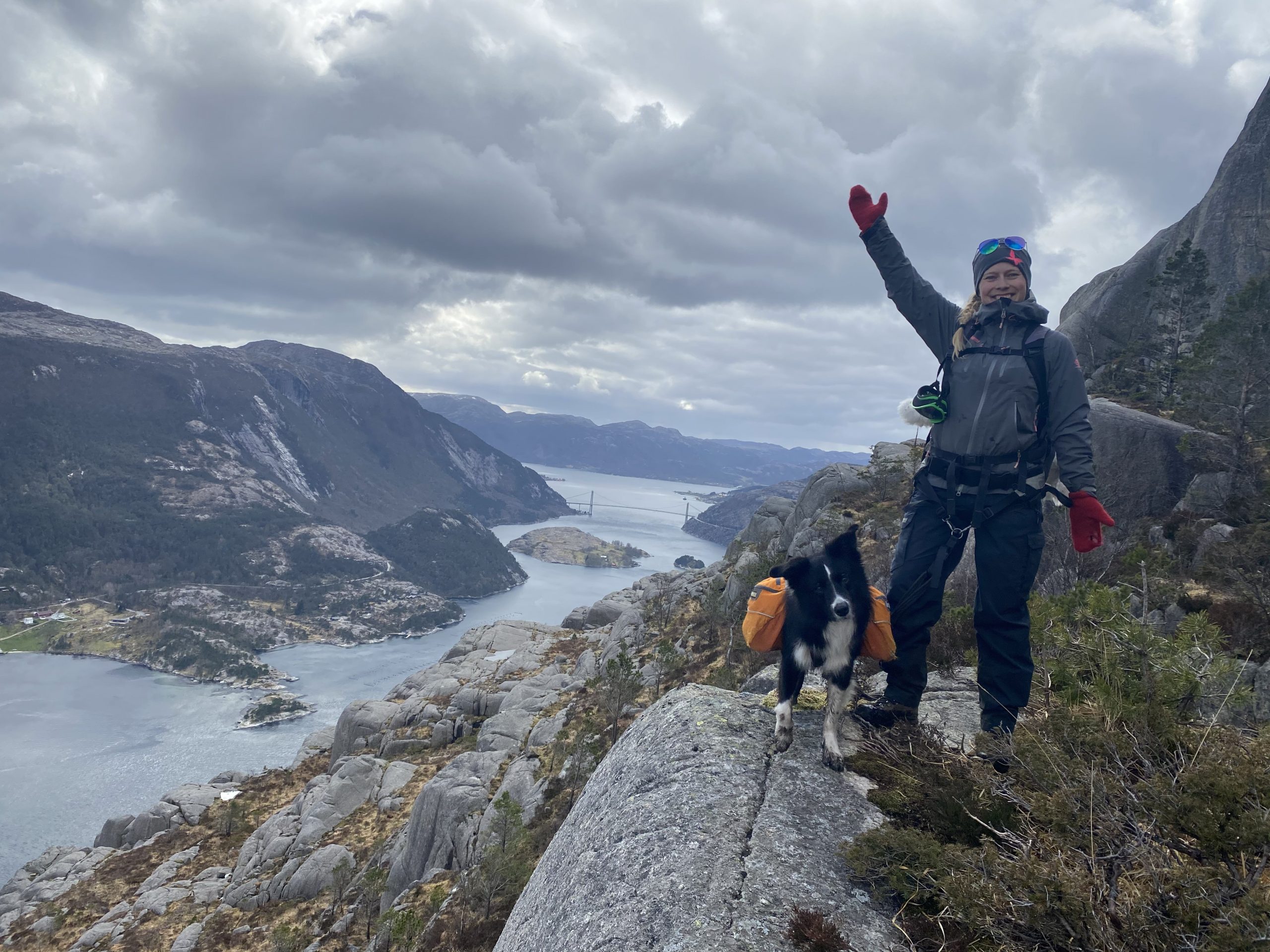
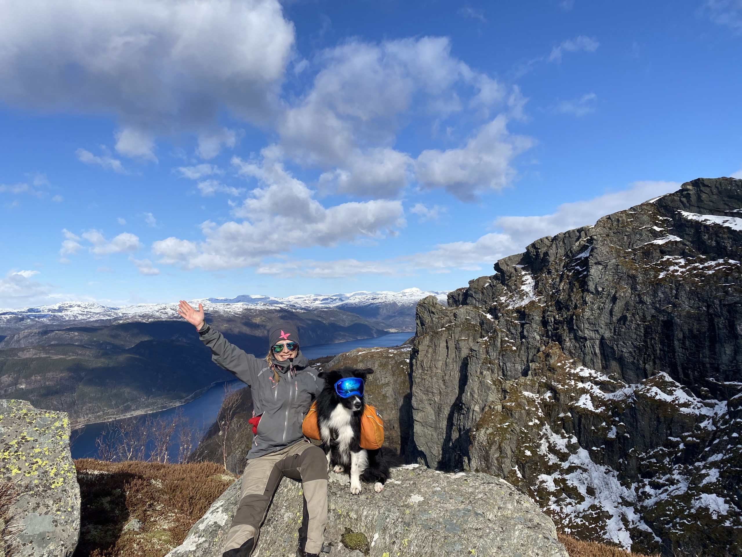
The hike starts at Botshei, which is located between Oanes and Jorpeland. You can park along the road where the hike begins (58.959835, 6.110042) and the trail is well marked. The first junction you arrive at will give you the option of taking the “old” or the “new” trail. The “new” trail will take you a long Lysefjorden – with amazing views, but if you have a fear of heights, it might be a bit uncomfortable taking this route.